

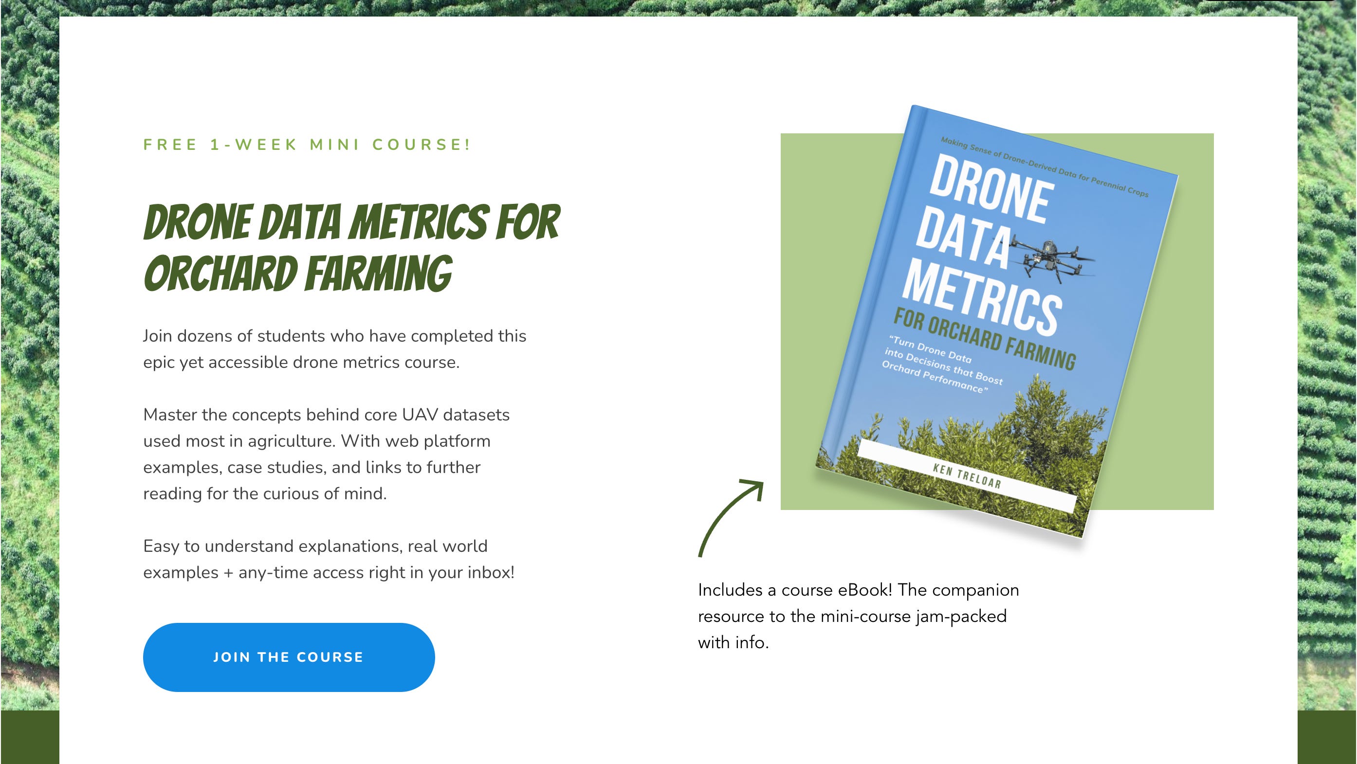
Free Course: Drone Data Metrics
For Orchard Farming - this is a 1 week email mini-course focused on AgTech specific drone data metrics for perennial crops! Unlock Aerial Insights for smarter farming, for free, and fast!

Learn about the core drone data metrics to utilise for enhancing agricultural efficiencies. Join for free and receive the accompanying eBook, and an email a day for a week - each lesson packed with info on drone-derived stats for Precision Agriculture.
We focus on using data for perennial orchards like fruit and nut farming, vineyards, and berries. However, no matter what you farm - if you grow something in the ground - you will find value in this free mini-course.
A recurring remark from clients in my line of work has been, “I don’t understand or know much about the metrics I can use on my farm once I’ve had a drone survey.”
The aim of creating a week's-worth of study material in email format is to provide readers with an easy-to-digest yet high-impact course about drone derived data metrics for orchard farming. An educational golden nugget.
“ The more we learn about the details of AgTech and the nuances of Precision Agriculture, the more we can take advantage of the tech and the opportunities on offer in the modern age of agriculture. “
Many of the lessons come with in-text links for the curious of mind, and links at the end of sections for further reading - totally optional, but available and accessible.
Below is a quick breakdown of the course. There’s a little more than what you see here, and I’ve added as much value as possible into the body text of each email.
Lesson 1 - Introduction
PDF eBook download - a supportive resource to the course
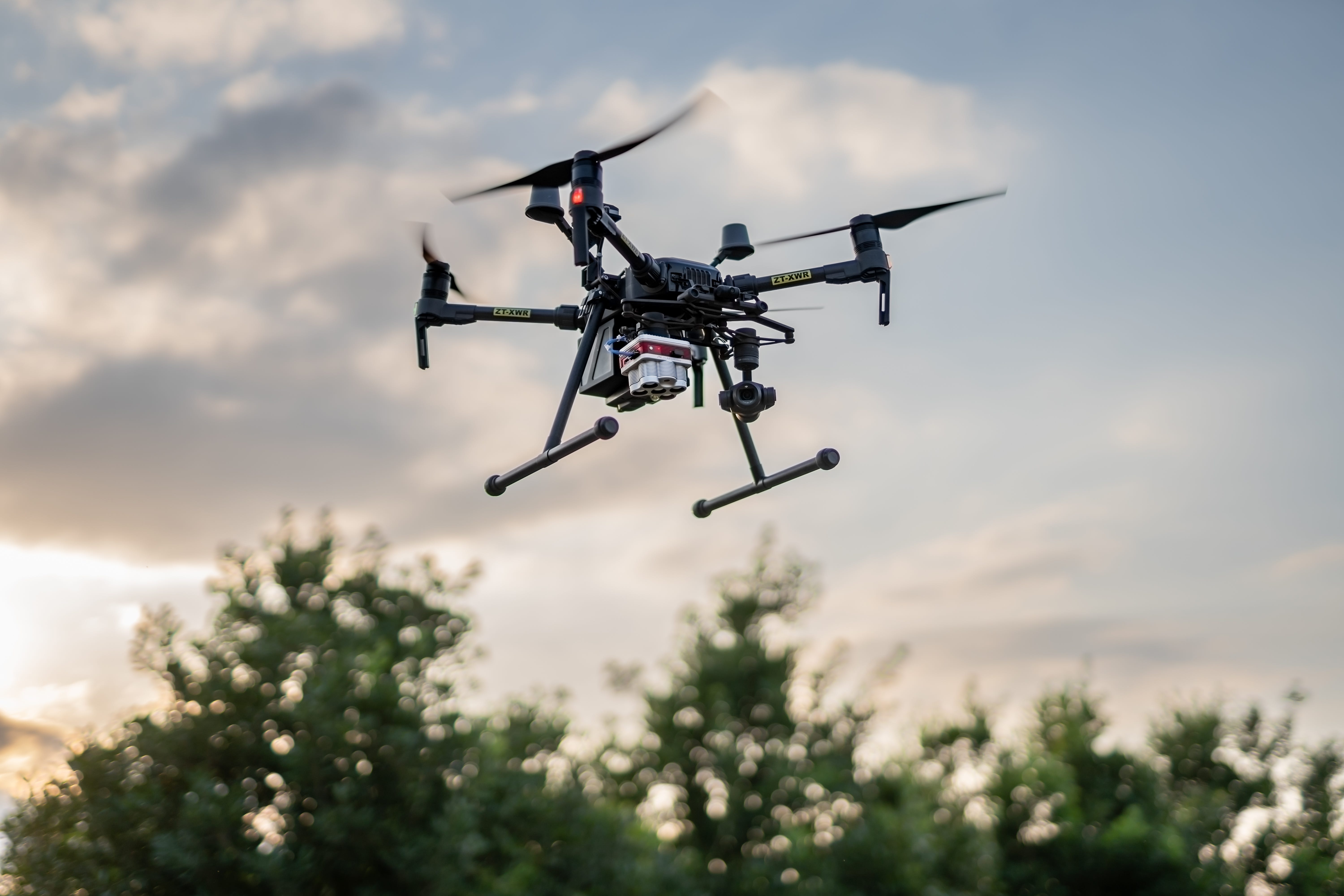
Drones in agriculture - an overview
Popular drone data metrics used in Precision Ag - an overview
Lesson 2 - RGB Imagery
All about visual remote sensing imagery
Bonus: Data use cases
Lesson 3 - Digital Elevation Models
What are DEMs?
Main types used in Agriculture
Practical tips & use cases
Lesson 4: Multispectral Data
Multispectral Introduction
NDVI and NDRE
What's the difference?
Practical tips & use cases
Lesson 5: Plant Census
Plant Census basics
AI Plant Detection
Inventory Management
Lesson 6: Canopy Data
Canopy area
Vegetative volume
Variable Rate Application use cases
Lesson 7: Thermal info
Thermal map layers
Transpiration representations
Data-guided irrigation management tips
Lesson 8: Bonus Email
Notes on AI Smart Sampling
Course conclusion
Why email format?
Emails are easy to sign up to (low barrier to entry) and easy to distribute to anywhere in the world. And with a small amount of automation built in, I'm able to reach readers promptly and consistently, no matter their location.
You can re-read emails, bookmark them, print them, forward them, share them, and more. You'll never lose access to the information in your inbox, and it's always there for you to review again (and again) if you want to.
Lastly you can always hit "reply" and connect with me directly with questions, or constructive feedback. Basically, email is a seamless form of communication that you're probably already familiar with.
You learn on your own time. Wait a week and binge-read the content. Or work through each day’s lesson in turn one-by-one. It’s your course, you go at your pace.
No obligations. No asks. Totally free educational resource.
The thinking starts here. The change starts with you.
DIRECT LINK » https://agtech-diaries.ck.page/drone-data-metrics