


The first answer to last week’s question came in at 03:46 on Wednesday 4 November.
It came from a drone operator in New Zealand.
“I’m having issues when scanning 2-D high density apple orchards. What can I do as a drone operator to get better quality imagery, and do you have any recommendations regarding the interpretation of canopy volume and area for these orchards?”
By mid-morning, the answer was written into Chapter 7 of the new book.
I hadn’t planned that. But the chapter didn’t cover narrow, high-density rows yet, and it probably should have. And now the info is in.
How do you read canopy area and volume in a 2D high-density orchard?
So in the relevant chapter in Edition 2, I suggest reading canopy area and volume per metre of row rather than per tree, and comparing rows and seasons instead of trusting any single number.
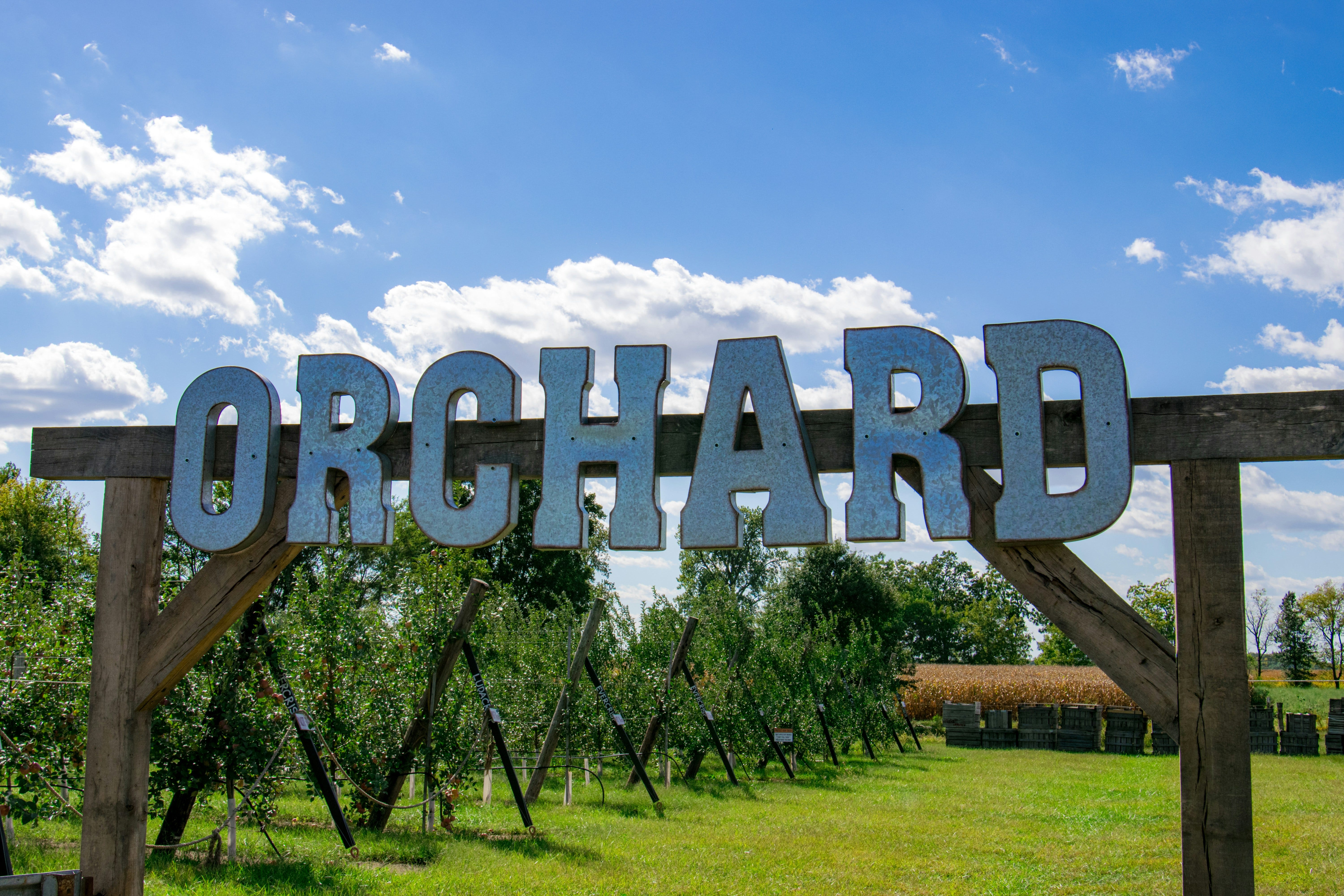
In an orchard trained as a 2D wall (often called a fruiting wall, or in horticulture an “espalier” or hedge), the drone sees nothing more than a thin strip from above. Canopy area then mostly measures how wide the wall is, and pruning keeps that width much the same from row to row.
For the drone survey, the short version is to fly along the rows, use high overlap (around 80% front and side is a typical setting), fly lower, and wait for a calm day. A thin wall moving in the wind blurs the 3D model.
I go into more detail in the book.
Is a drone map worth it for a 2-acre citrus orchard?
A second reply on one of my Substack Notes, from a reader in Uganda with 2-acre (about 0.8 ha) citrus orchards in mind.
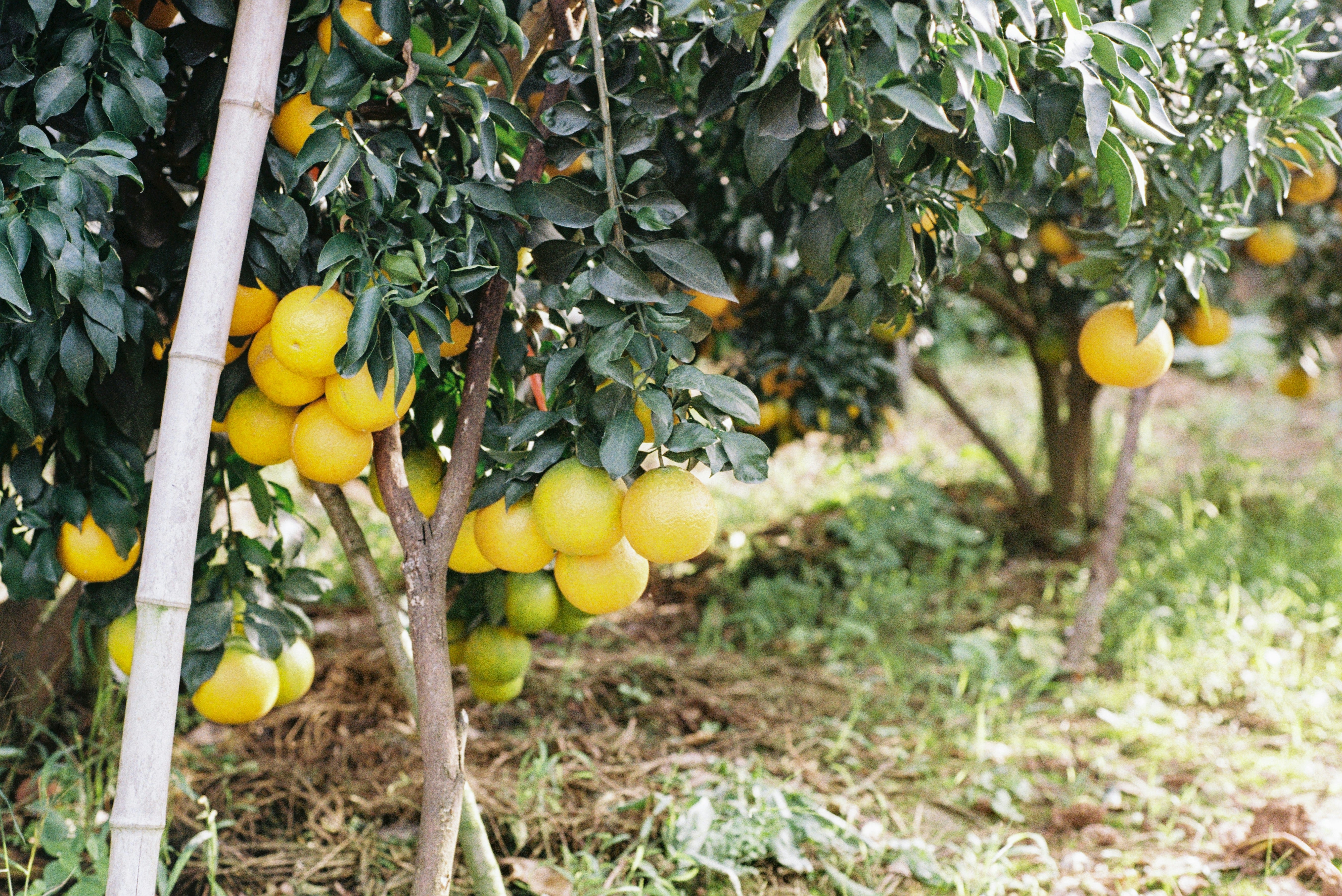
On one small farm, walking every tree is often enough, and it costs nothing but time. A map starts to pay its way when you want to track several metrics over more than one survey, and a few neighbouring farms share one flight. Then one map covers many farms, and the provider’s platform splits it into each farm’s orchards.
Edition 2 of Drone Data Metrics for Orchard Farming launches on Wednesday 25 November 2026.
Before then, I’ll share three short posts here, on Monday 16, Thursday 19 and Monday 23 November. The 1st post is about the drone data many farms already pay for but don’t fully use. The 2nd follows one orchard where the map changed a decision. The 3rd is a look inside the Edition 2 book itself.
Q: What’s your biggest question or doubt related to drone data?
If you haven’t shared yours with me yet, there’s still time. Reply to this email or leave a comment. The answers shape the next 3 posts.
The thinking starts here, but the real change starts when you take action.
Ken