


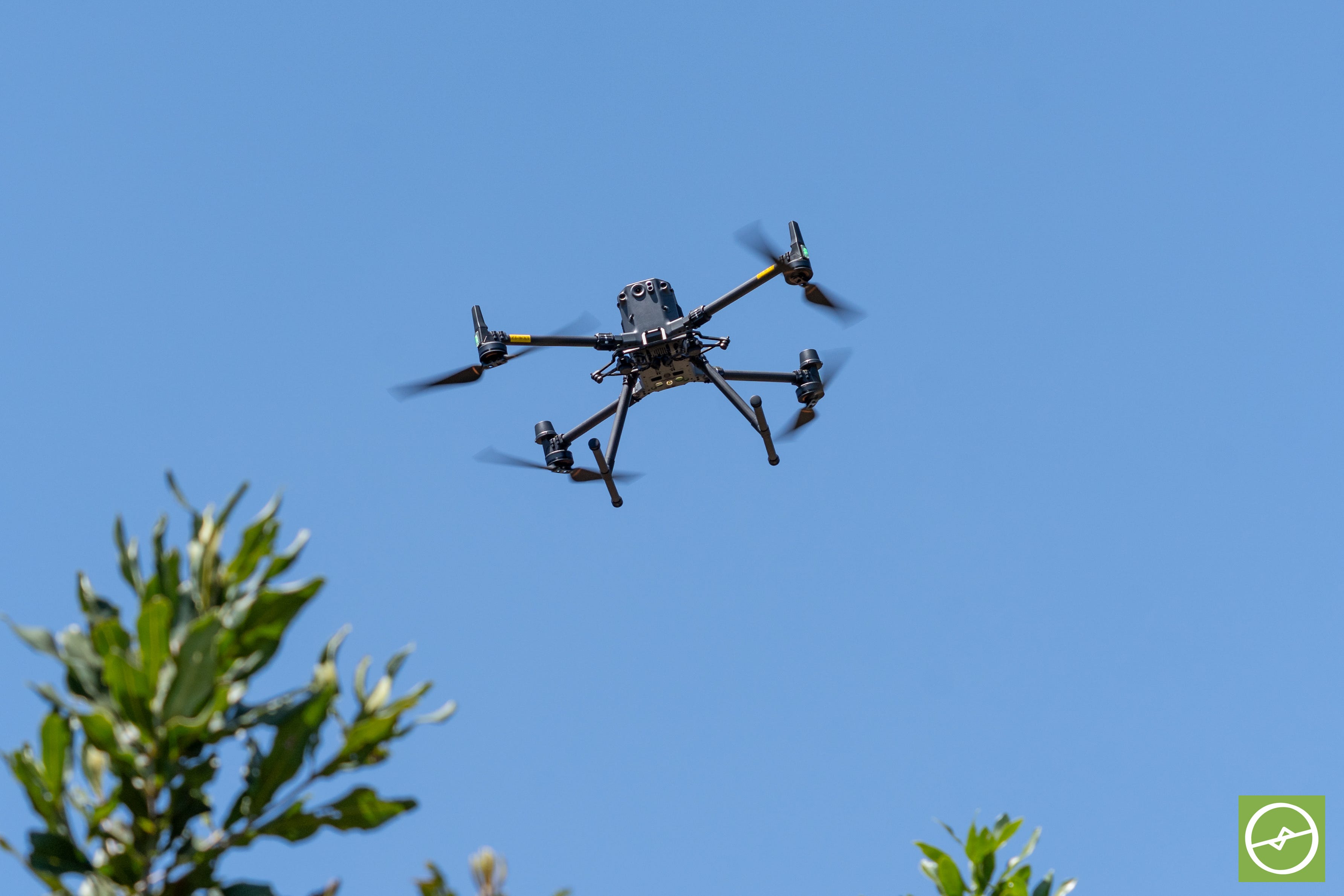
A year ago, I published Drone Data Metrics for Orchard Farming.
The second edition is nearly done.
Every single chapter has been reworked and expanded.
There are hand-drawn sketches, a recap and reflection questions at the end of each chapter, and the precision sampling chapter covers even more on AI-generated sampling waypoints.
Before Edition 2 goes to print, I need your help with one thing:
What’s your biggest question or doubt related to drone data?
It might be a map you’ve never quite trusted.
A number in a report you’re not sure what to do with.
Or a question you’ve been meaning to ask your drone service provider for months.
Please reply to this post, or leave a comment, and tell me what that 1-thing is?
One line is enough.
And I will personally read every answer.
Next Tuesday, I’ll share what came up (without naming names) and the most common questions will shape what I write into the new book between now and the launch date.
The first question that comes to mind is usually the right one, and chances are other farmers are wondering about it too. So send your thoughts while they’re fresh!
The thinking starts here, but the real change starts when you take action.
Ken