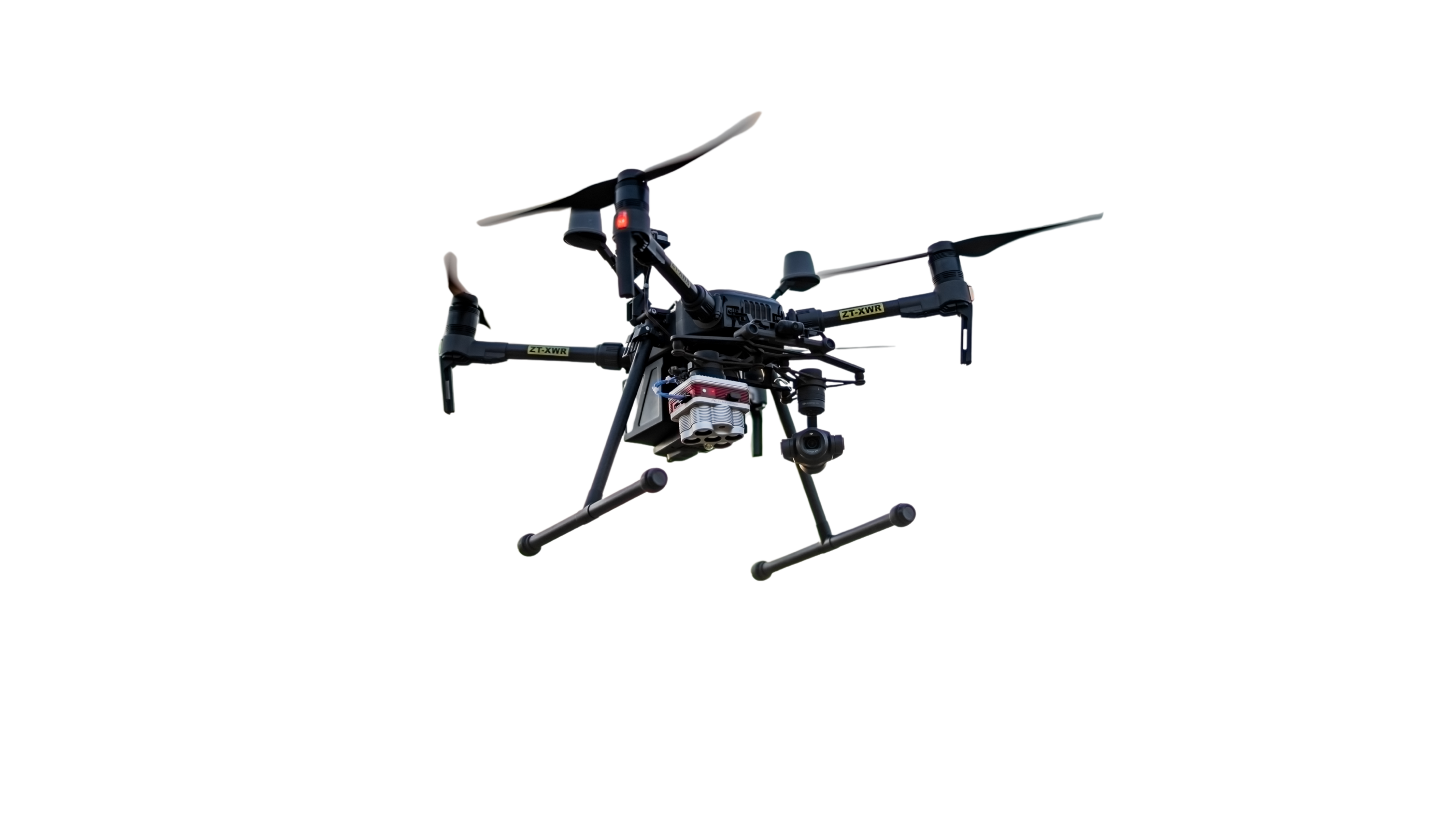
The greatest advantage of drone technology isn’t the aircraft itself. It’s the ability to see more of the farm, see it sooner and make decisions using information that would otherwise take far longer to collect.
A farmer walking through a field, orchard or vineyard understands what is happening at ground level. That knowledge remains essential. The limitation is scale. One person only sees a small part of the operation at a time, while many problems develop as patterns across a wider area.
A drone adds that wider view.
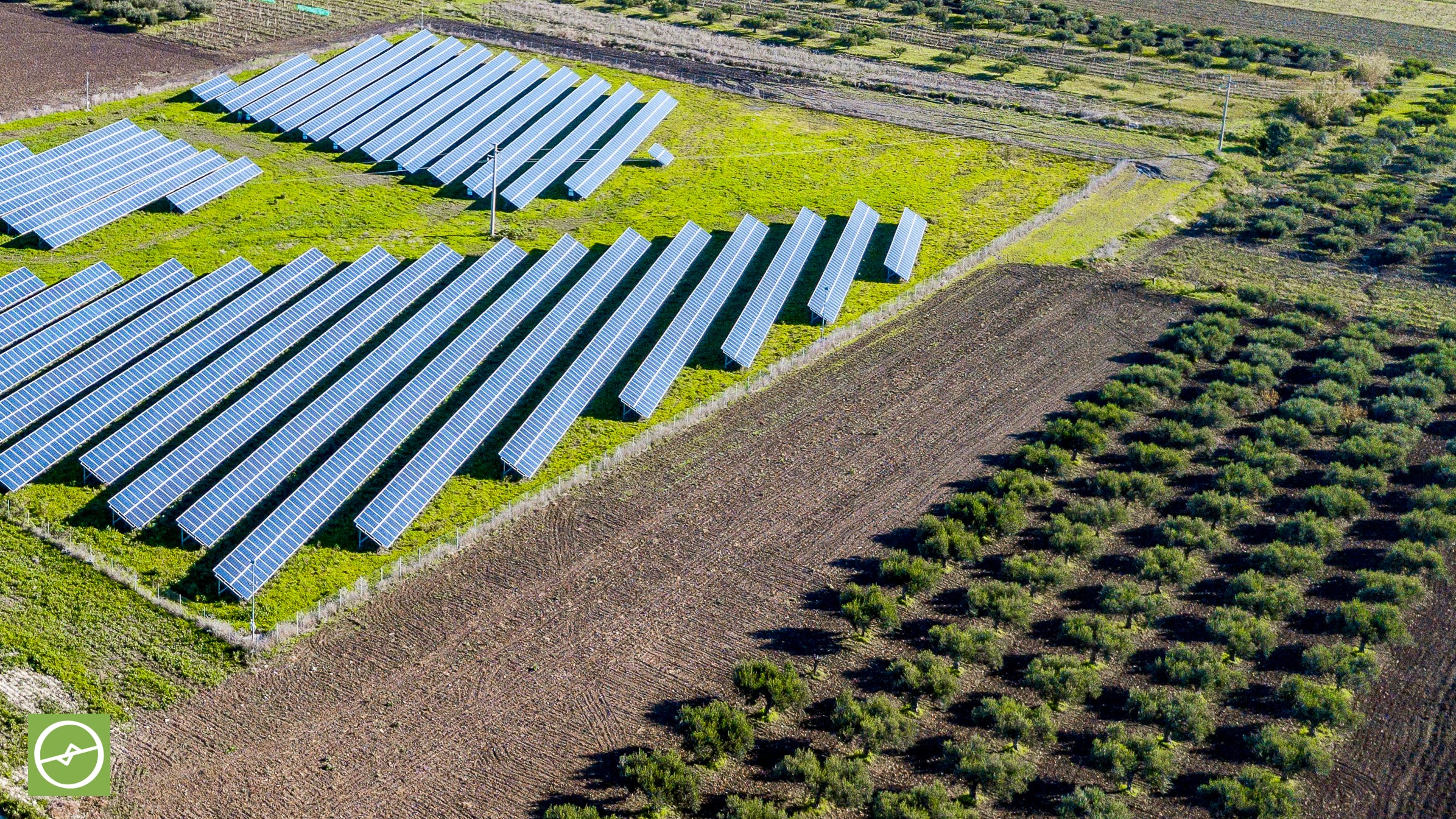
Mapping drones equipped with RGB, multispectral or thermal sensors highlight uneven crop growth, missing plants, canopy variation, possible water stress, drainage patterns, irrigation faults and storm damage. They don’t replace field inspections. They make those inspections more focused.
This matters because the most valuable question often isn’t, “What is wrong with the farm?” It’s, “Where should we investigate first?”
Vegetation indices such as NDVI and NDRE help identify outliers and areas behaving differently from the rest of the crop. They don’t provide a complete diagnosis on their own. Instead, they direct the farmer, agronomist or crop adviser towards the right part of the field. Soil information, irrigation records, sampling and in-field observation then help explain the cause.
The result is less wandering and more targeted action.
Spraying drones bring a different advantage. They apply products in areas where tractors and other ground machinery struggle to operate efficiently. Steep terrain, wet fields, sensitive soils, orchards and tall crops all present access challenges. Drones work above the crop without driving through it, reducing compaction and avoiding unnecessary crop damage.
They also reduce the need for workers to complete physically demanding manual applications and limit direct exposure to agricultural remedies. Good spraying practice still matters. Product registration, label instructions, weather, droplet size, coverage, drift management, flight height and operator competence remain non-negotiable.
Poor spraying doesn’t become good spraying because a drone performs the task. However, a correctly planned drone application adds speed, access and precision to the farmer’s toolkit.
The same aerial perspective extends far beyond crops. Orthomosaics and three-dimensional models support planning for roads, drainage, dams, buildings and large agricultural developments. LiDAR adds detailed elevation and structural information where terrain or infrastructure requires greater depth.
Drones also support the transition towards more resilient energy systems on farms. Ahead of a solar PV installation, aerial mapping assists with roof measurements, obstructions, access planning and site records. Once the system is operating, thermal inspections highlight abnormal heat patterns across panels and direct technicians towards areas requiring closer investigation.
Farm security also benefits from this wider perspective. Planned flights support fence-line patrols, road checks and the inspection of isolated infrastructure. Following an alarm or incident, an aerial view gives security teams better situational awareness before entering the area.
Remember, drones don’t replace agronomists, engineers, farm managers, or security guards. They extend their reach and simply improve the information available to them.
Farmers who use drones well identify variation earlier, inspect more efficiently and respond with greater precision.
The farmer who knows sooner acts sooner.
The thinking starts here, but the real change starts when we take action.