

Plant Census Statistics: Why Every Tree and Vine Counts
From Counts to Insights: How Plant Census Strengthens Orchard Management

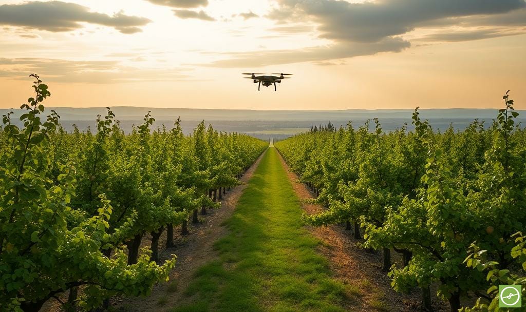
When we think about drone mapping and precision agriculture, we often picture NDVI maps or thermal overlays. However, before any of those outputs can be trusted (especially per-plant info) something foundational has to be correct from the get-go: knowing exactly how many plants are in the ground, and where they are.
That’s where Plant Census Statistics deliver on value.

Inventory as Insight
Orchards and vineyards are multi-year investments. Macadamias, avocados, citrus, grapes. These are not seasonal assets. They are commitments that should return value for decades.
A reliable census is more than a headcount. It anchors:
Inventory management: how many productive trees you actually have.
Replant planning: ordering replacements with precision.
Insurance and compliance: ensuring coverage matches reality.
Budgeting: basing input costs (and management) on accurate denominators.
Gap detection: highlighting land that’s underperforming or could be replanted.
Without this baseline, yield forecasts, per-tree metrics, and ROI calculations are all built on shaky ground. Thumb-suck guesstimates based on planting-plan information, or outdated records decades old.
I see it all the time. And if this is you, don’t feel too bad. Please know that you are not alone. Just remember: there is a better way.
Moving From Manual to Digital
In the past, census data came from clipboards, field walks, or estimates. Those methods work in freshly established orchards, or small-scale operations, but errors multiply fast with scale.
Nowadays, high-resolution drone imagery combined with AI-powered analytics delivers quick and reliable value:
Accurate per-plant counts.
Identification of gaps or missing trees.
Changes in plant numbers across seasons.
Maps that link every dataset (canopy, stress, yield estimates) to the right plant.
Quick turnarounds.
This shift isn’t just about speed. It’s about confidence. About knowing your decisions are grounded in data, not assumptions or “best case scenario” calculations.
From Numbers to Decisions
Imagine this: A drone census shows missing and weak trees in one section of an orchard block.
Multispectral layers reveal stress; while paired elevation and thermal data point to poor drainage as a likely culprit.
Instead of guessing, you can decide whether to rehabilitate the soil, replant with confidence, or exclude the area from production, among other possible actions.
The census data turns into a catalyst for an actionable plan: saving money, improving ROI on time and actions, and prevents repeated mistakes. All backed with data.
Best Practices
To get the most out of census surveys:
Run at least one census per year to keep records current.
Capture high-resolution imagery processed through a reputable processing platform for accurate AI-backed annotations.
Pair census data with canopy, stress, and thermal metrics for deeper insights.
Use your census (plant annotations) as the baseline for smart sampling strategies.
The Foundation for Precision
Plant census statistics may seem simple compared to advanced analytics, but they are the foundation on which precision agriculture rests.
Without an accurate inventory, no other metric can be trusted. With it, you gain speed, accuracy, and actionable insights that drive better decisions season after season.
I have worked with clients all over the globe that have requested a drone survey for census stats alone - they are that insightful and valuable - and at the same cost of getting all the “bells and whistles” drone metrics and statistics.
In terms of solving for acute plant-count pain points, there is no doubt in my mind that UAV mapping is the way to go.
This post supports Chapter 6 of my book:
Drone Data Metrics for Orchard Farming.
Scan the QR code in your copy to come back here anytime and explore related posts that expand on each chapter in practical, farmer-focused terms.