


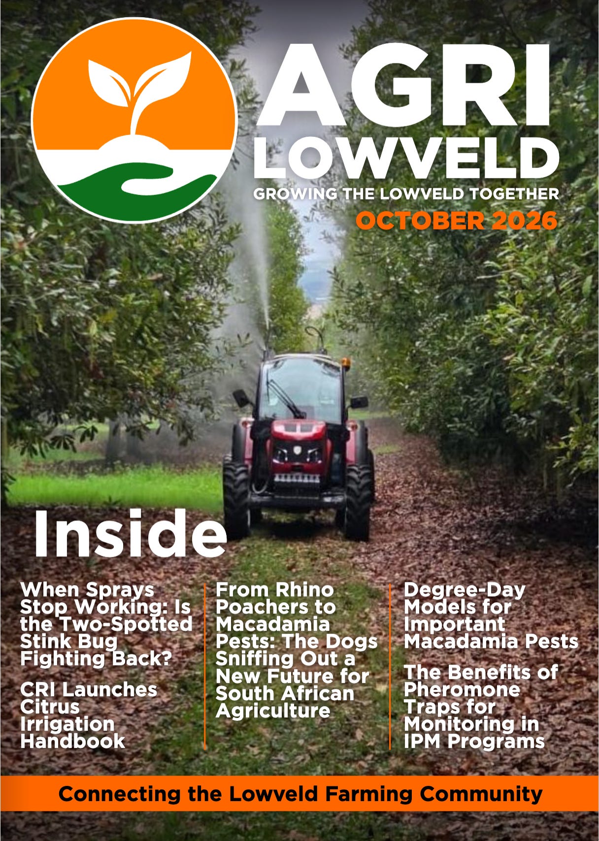
I wrote a piece for AgriLowveld earlier this month on drone tech, and the core points are worth restating here on the blog! You can read the full piece over at the October edition of AgriLowveld.
Spraying is the drone conversation in the Lowveld at the moment, and for good reason. It’s fast, visible, and easy to justify. But it’s only one side of what the technology does.
The other side is data collection. Multispectral maps, plant census, elevation models, etc. This side of the tech gets far less attention, despite offering long-term value. Value across orchards, field crops, livestock, farm security, and even marketing. And my view is that where the difference matters most is in the realm of perennial crops.
A drone flight at the right time can flag an issue three months before it’s visible on a walk-through. And for a tree that takes years to replace, that head-start changes things.
None of this replaces a good farm manager. It’s a way of pointing that manager at the few hectares that actually need the attention most - it’s a productivity flex.
In the full article, you’ll learn:
Why drone data potentially outlasts drone spraying as a long-term investment.
How feedlot and grazing-land operators are already using drone counts and pasture monitoring.
Why Lowveld conditions make this more useful here than arguably elsewhere.
What separates a farmer getting real return from drone data from one who isn’t.
How to think about cost, without comparing it to the alternative (ie. doing nothing).
Once again, you can read the full piece over on AgriLowveld.
The thinking starts here, but the real change starts when you take action.