

Managing Growth and Variance: The Drone Advantage with Canopy Metrics
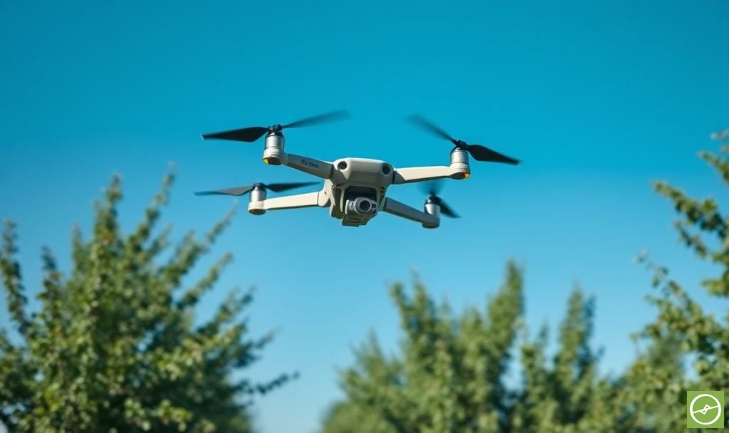
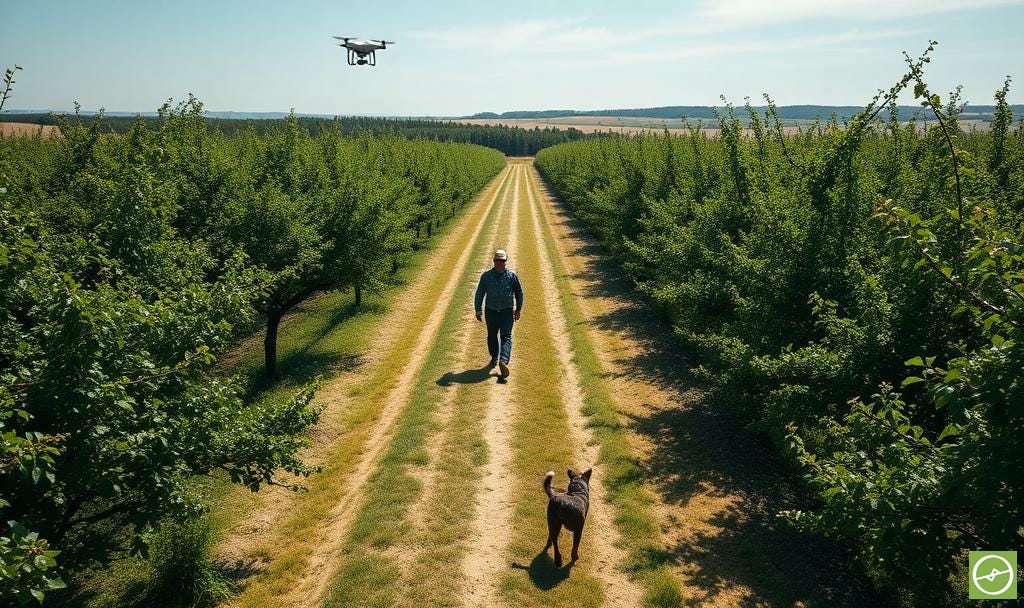
Smarter orchard management starts with drone canopy data.

When we talk about drone data, multispectral maps and thermal overlays often steal the spotlight. But sometimes the most powerful insights come from the simplest measures.
Canopy metrics are one of those tools. They may not sound glamorous, but they are among the most practical ways to measure orchard performance.
What Are Canopy Metrics?
At its core, canopy area refers to the surface area of each tree’s foliage as viewed from above.
Platforms like Aerobotics take this further, calculating not only canopy area (m²) but also indicative vegetative canopy volume (m³). Together, these figures create a detailed snapshot of structure and uniformity for each plant, and the orchard.
The Importance of Canopy Data
Canopy metrics are more than numbers on a chart, and connect directly to profitability by showing:
Growth trends: whether orchards are on track to reach target size.
Variance levels: how uniform or uneven the orchard really is.
Input demand: which trees need more or less water, fertiliser, or attention.
Healthy canopies signal healthy returns - all things being equal. And lagging canopies point to areas needing intervention. Areas with limiting factors that should be addressed.
Tracking Growth
1Measuring canopy expansion over time is like keeping a growth chart for your orchard.
In young blocks, it confirms whether trees are establishing as planned.
In mature blocks, it shows how pruning, nutrition, or irrigation influence structure.
A steady increase is generally a positive sign.
Stagnation, or reduction in canopy size, is a red flag.
Smaller-than-expected canopies often indicate weaker yield potential. This is partly because a smaller leaf area reduces the tree’s ability to capture sunlight for photosynthesis. Fewer leaves mean less energy available to support key processes like flowering, fruit set, and fruit filling.
But canopy size is not the full story. Photosynthesis is a complex process, and more leaves do not automatically equal higher yield.
In fact, excessive vegetative growth can compete with reproductive growth, diverting energy toward maintaining foliage rather than filling fruit. Hence, the balance between canopy development and fruiting is what really matters.
Drone-derived canopy metrics help bring these dynamics into focus.
By monitoring whether canopy growth is aligned with expected developmental stages, managers can distinguish between normal variability and signs of stress or imbalance. Identifying these trends early allows for timely interventions and more accurate yield forecasting.
Managing Variance
2Variance is the hidden tax on orchard profitability.
A block with uniform canopies is easier to manage, cheaper to harvest, and more predictable at pack-out. A block with wide variance is the opposite: complex, costly, and inefficient.
Drone-derived canopy information makes this variance visible. By flagging under- and over-performing trees, managers can target interventions like soil remediation, irrigation fixes, or replanting.
Actions can be taken down to every single plant, if that level of granularity is practical. Although this can be challenging across large operations, managers can choose whether to work at orchard, zonal, or row level.
It is also worth noting that variance doesn’t only occur on the low end. Trees with overly vigorous canopies can create problems of their own.
Excess leaf growth can shade neighbouring trees, increase humidity and disease pressure, and shift energy away from fruiting.
The dynamic tension between vegetative and reproductive growth means that “bigger” is not always “better.”
An orchard full of balanced, moderately uniform canopies is more likely to produce consistent yields than one with a mix of weak and overgrown trees.
Reducing variance is therefore not simply a function of agronomy. It is directly tied to ROI, fruit quality, and long-term orchard resilience.
Driving Precision with VRA
Canopy data underpins Variable Rate Applications (VRA).
For example: Instead of applying the same rate of fertiliser or irrigation across a block, inputs can be scaled to tree demand. Smaller trees get a helping hand. Larger trees are kept in balance without waste.
On the water-use side, smaller canopies do not require the same amount of water compared to larger canopies. If the differences in plant size is significant - say with trees planted into gaps, or those lagging behind - water outputs can be adjust at plant level.
Canopy management can also be done VRA-style, based on per-plant or zonal canopy information.
Although I have seen canopy information being used to direct pruning teams on the ground, this VRA-based approach to pruning can be especially useful where operations utilise mechanical pruning.
Many grape vineyards and olive groves already use the mechanical method and they have already become common practice in many regions that cultivate these crops, *albeit without the precise guidance of drone-derived canopy data.
*However, I’ve worked with operations using drone data for mechanical pruning as early as 2019. The biggest saving being that of time (only moving machinery over areas that need it) and money (saving on fuel, and being able to utilise drivers elsewhere once pruning is done).
Managers may want to prune during the season in areas of high vigour, or to manage larger canopies to bring down orchard variance from the high-end of the scale, and keep orchards manageable. Of course, pruning actions are timed phonologically, as is best practice.
Whether fertilising, watering, or trimming… in summary, VRA optimises resource use and improves uniformity over time.
Timing the Surveys
To make canopy data meaningful, surveys must be consistent.
The best practice is to fly at least once a year, at either of three stages each season.
If you really want the “full bells and whistles” experience, you can do them all within a season, but my advice is to be mindful of the cost, as well as time and capacity.
One drone scan well timed, will provide a mountain of useful data. If a second is conducted within the same season: there lies a lot of value in the follow-on surveys - but only if there is a specific need to do so.
Early season – after flowering and fruit set. Ideally after natural fruit/nut drop.
Mid-season – the beginning stages of fruit cell enlargement or oil accumulation.
Post-harvest – before and end-season pruning.
Avoid flowering periods (unless tracking blooming prevalence/intensity - a different type of drone scan entirely). And also avoid immediately after pruning. Both distort canopy results.
Variance figures will obviously be low if drone scans are done after scheduled orchard pruning (if the pruning teams - or mechanical operators - have done their jobs well) and you will not get the true picture in terms of orchard variance.
I must add that if you are going to do all three drone scans in one single season, note that after the third drone survey ROI on your spend will drop sharply.
It’s simply a matter of: (1) not being able time additional scans perfectly with phenology. Usually due to an advancing growing season that can get away with you before you even realise it, (2) a mix of varieties and cultivars that usually exist on-farm, with overlapping phenological stages, (3) due to factors that will inevitable be out of your control, like the weather, and (4) simply being out of time and capacity to action all the insights gained from the surveys already done.
Believe me, drone data provides more useful information per-scan than we think (especially when we utilise several drone data metrics from one scan).
Managers will very likely be in a position where they need to decide what to action, and what not to action - triaging and prioritising as applicable. A good “problem” to have, and a great base for data driven decision making.
Canopy Data in Context
As we have seen time and again, any specific set of drone-derived metrics rarely stand alone. Their power multiplies when combined with other datasets.
When the other metrics are compared against canopy metrics:
RGB imagery validates, and does so against physical clues in surroundings.
DEM layers reveal whether terrain drives growth differences.
Multispectral info explains whether small trees are simply young or stressed.
Thermal data shows how well canopies regulate temperature through transpiration.
Together, these layers transform canopy stats from descriptive snapshots into powerful and impactful diagnostic insights.
The Big Takeaway
Canopy data may not grab headlines, but it builds the foundation for smarter orchard management. From tracking growth to managing variance and guiding precision inputs, its impact compounds with every season.
The key is not assuming that more leaves automatically mean more yield. Photosynthesis is complex, and vegetative growth and reproductive growth often compete for the same resources.
Too little canopy reduces photosynthetic capacity and limits yield potential.
Too much canopy can drive excess vigour, shading, pest pressure, and lower fruit quality.
The value lies in balance and uniformity: orchards with canopies that are consistent, well-structured, and aligned with developmental stages.
By flying regular drone surveys, managers can see this balance clearly. Year after year, the performance record becomes sharper, linking management actions directly to orchard outcomes.
The thinking starts here, but the real change starts when we take action.
This post supports Chapter 7 of my book:
Drone Data Metrics for Orchard Farming.
Scan the QR codes in your copy of the book to come back here anytime and explore related posts that expand on each chapter in practical, farmer-focused terms.
For a copy of the condensed version of the book in PDF format, join the email short course (also free) to learn more and grab yourself a free digital copy when you sign-up.
Section updated 01-10-2025
Section updated 01-10-2025