


In farming, an end-season result is shaped by hundreds of individual decisions. Some appear small at the time, but their cost grows when they affect several hundred hectares or continue unnoticed for weeks or months.
Farmers and managers - along with their staff - constantly need to decide where to scout, where to sample, which irrigation lines to inspect, where to apply inputs, and whether a previous intervention actually worked.
They also make decisions about drainage, roads, dams, buildings, energy systems, construction and security. UAVs help answer these questions faster and across a wider area than manual inspection could do alone.
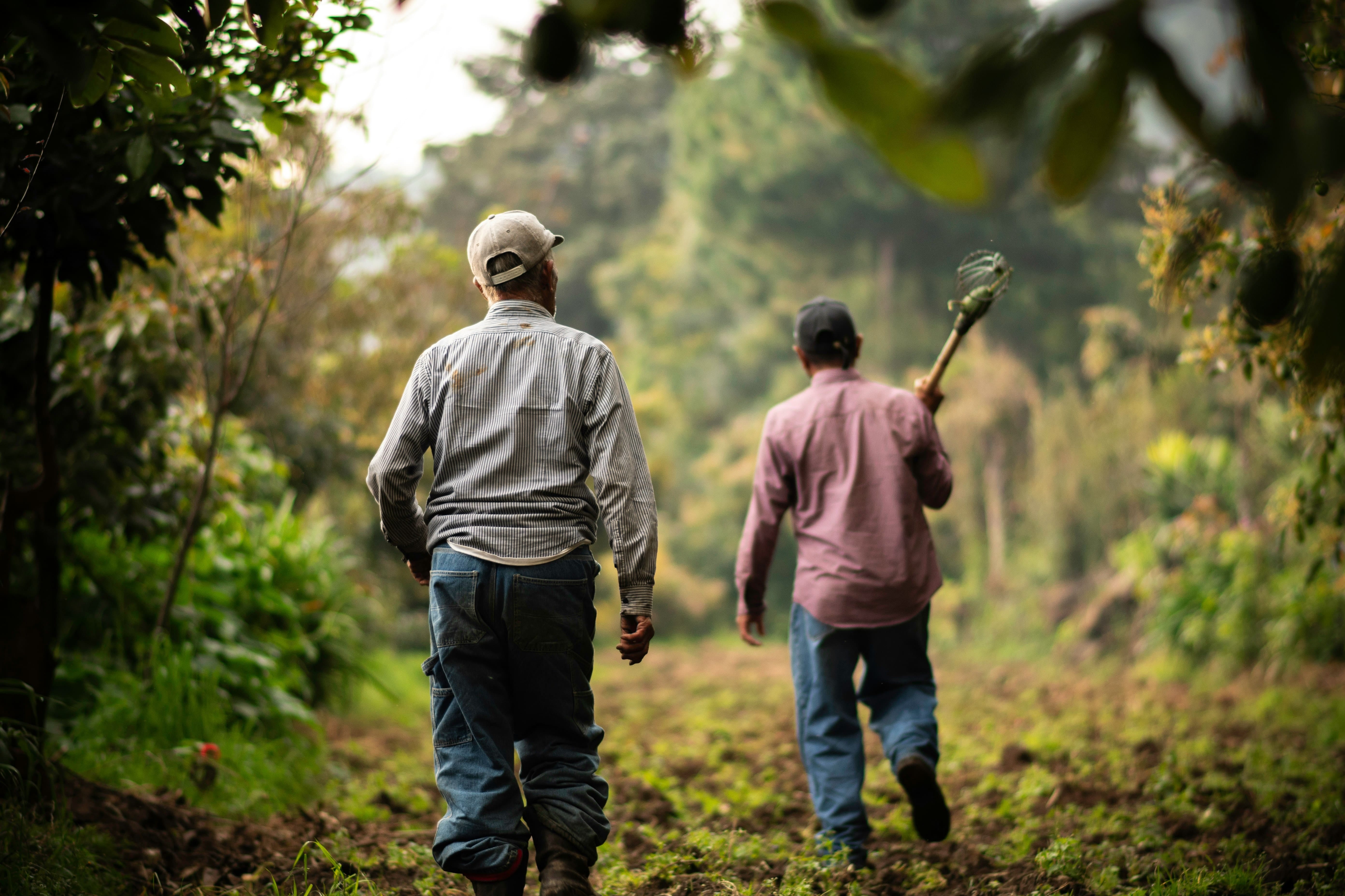
Consider an orchard where one section is underperforming. Without adequate information, the problem remains unnoticed until it becomes visible “from the road” or begins to seriously affect yield.
Another common response is to treat an entire block with a remedy because the extent and severity of the problem is simply unknown, and any targeted application would be a guessing game.
A drone-derived map identifies the affected area and shows how the pattern is distributed. The farmer then inspects that section and determines whether the cause relates to irrigation, soil, drainage, pests, disease, nutrition or crop establishment.
UAVs create focused action.
This doesn’t mean every problem requires a spot treatment or variable-rate application. The crop, product, label, equipment and target must support the intended approach.
However, higher quality information allows the farmer to distinguish between uniform and variable conditions, instead of managing every hectare as though it performs in exactly the same way as any other.
In orchards and vineyards, high-resolution imagery identifies missing trees or vines, unusually small canopies, stressed zones and patterns linked to irrigation lines, soil changes or topography. This supports replanting, irrigation checks, pruning decisions, crop scouting and more representative sampling.
Sampling deserves more attention. Teams often return to the easiest trees or vines to access, like those near roads, offices, workshops, or block entrances. It cannot be denied, it’s likely that those plants don’t represent the entire block.
Drone data (especially multispectral and thermal) identifies strong, weak and average areas, guiding the team towards sampling locations, that together reflect the true variation present in an orchard or vineyard.
There’s no real advantage in the production of heaps and heaps of data. It’s really improved decisions built from the right data that moved the needle most.
Spraying drones add value where timing and accessibility create operational pressure. Narrow weather windows, waterlogged soils, steep slopes and sensitive crops all restrict conventional land-based machinery. Drone-based applications provide a alternative route to treatment without driving heavy equipment through the field or orchard.
This does not turn drones into a blanket replacement for tractors, mist blowers or other established systems. Different application methods serve different situations, crops, products, and canopy structures.
The advantage lies in having another capable tool available when conditions make it the best option - the most appropriate tool for the job.
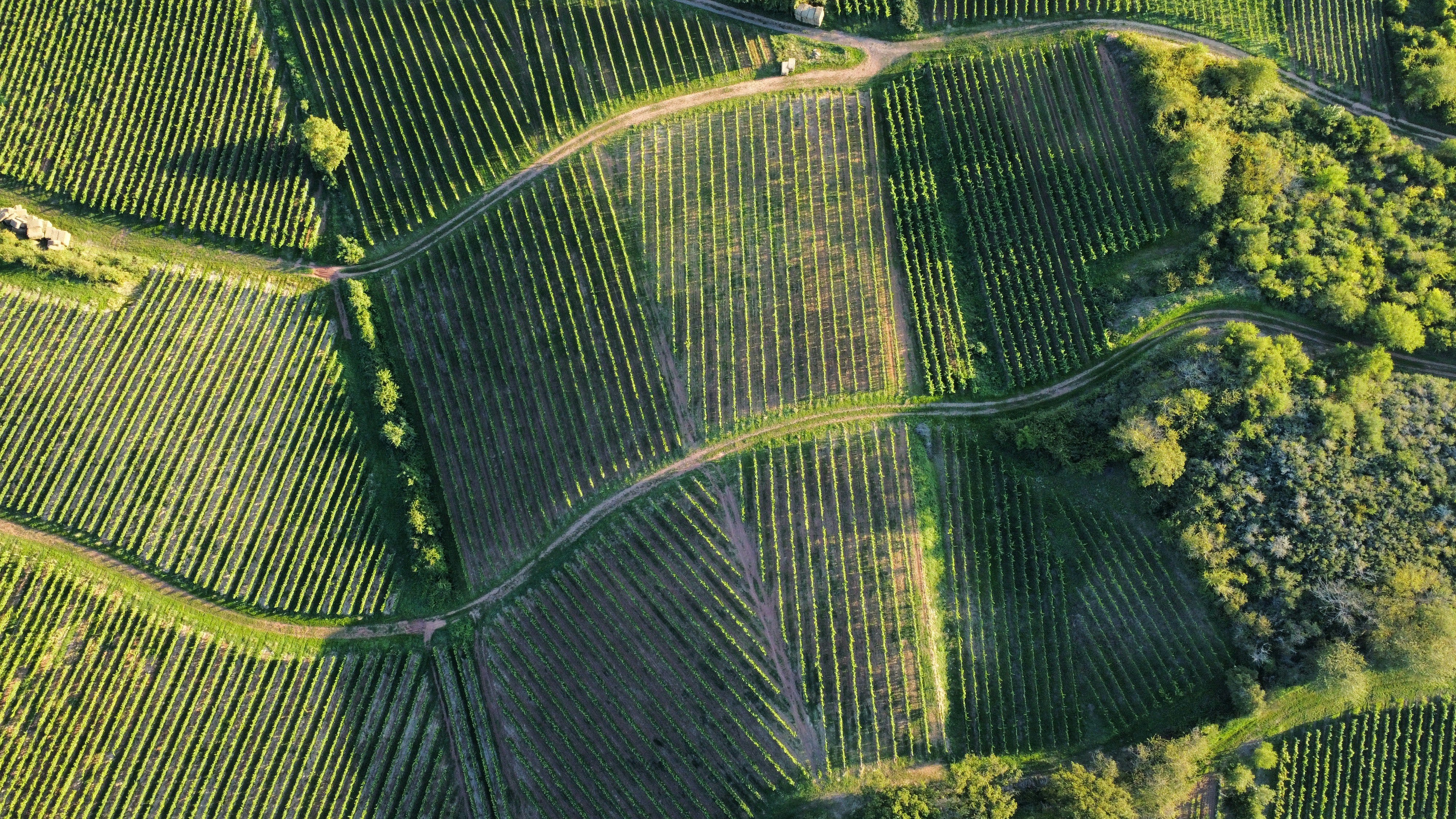
Drone records also improve communication. A current orthomosaic, annotated map, thermal image or three-dimensional model gives agronomists, engineers, contractors, insurers, electricians, owners and managers the same visual reference. That is far stronger than relying on verbal descriptions alone.
The same principle applies to energy infrastructure. Solar PV systems are becoming major farm assets as producers seek more predictable electricity costs and stronger energy security.
Drone mapping supports planning and installation, while RGB and thermal inspections support long-term asset management. Technicians start with focused areas instead of manually checking every panel or inaccessible roof section.
Return on investment isn’t always a dramatic yield increase. It also shows up through reduced scouting time, lower unnecessary input use, earlier identification of stress, less machinery movement, stronger construction oversight, faster infrastructure inspections and better evidence for insurance or technical discussions.
Sometimes the value comes from finding a blocked irrigation line before several hectares decline. Sometimes it comes from identifying roof constraints before a solar installation begins, or locating an abnormal heat pattern across a PV array before performance suffers further.
Technology creates an advantage when it shortens the distance between identifying a problem, making a decision and taking action.
That is where drone value really sits - we’re operating in exciting times!
Free Course: Drone Data Metrics

Learn about the core drone data metrics to utilise for enhancing agricultural efficiencies. Join for free and receive the accompanying eBook, and an email a day for a week - each lesson packed with info on drone-derived stats for Precision Agriculture.
Quick, PS:
You can read more about drone-use across the different areas of operation (sampling, mapping, spraying, infrastructure inspections, land development planning, and sustainable energy solutions over on the ProAgri site.
I’ve been fortunate enough to contribute to the publication (my articles here) and to share some knowledge; and also that of my clients, peers, and colleagues. An opportunity which I appreciate, as always.
This is all for the benefit of those involved in food production and food security. And also for all of us upstream, downstream, or in someway involved in the supply chain.
So thanks for the continued support.
And thanks for reading!